Guest post: Squares + Streets - Rezone the residential streets, too!
While the pace of zoning votes slows down for the summer, we wanted to share a compelling analysis of Boston’s ongoing Squares + Streets initiative by Roslindale resident Nate Stell. In September, we’ll continue our biweekly Upzone Update newsletters, focusing on analyzing MBTA Communities implementation, but we also plan to broaden our scope. Ensuring the success of MBTA Communities is vital in the short term, but the law’s modest design means that it alone won’t provide the diverse housing options needed to support a more thriving, affordable, and welcoming region.
Nate’s article digs into the big land-use issues people care about, like parking, tax implications, buildout potential, and population impacts. Nate’s analysis of Squares + Streets also leads him to call for its expansion. Below is a preview—click here for the full article.
Squares + Streets: Rezone the residential streets, too!
Some gentle density can go a long way
By Nate Stell
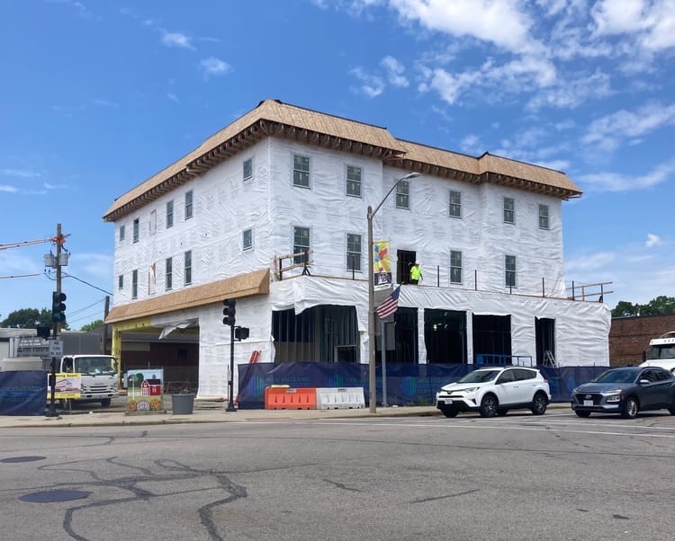
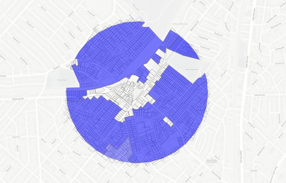
Roslindale Square is one of the first two sites of the Squares + Streets zoning initiative to encourage more housing and mixed-use development near transit and main streets. The final step for Roslindale will be an update to its zoning map, which will happen by the end of the year.
This week, the Boston Planning Department (formerly BPDA) will present its first zoning map recommendations for a ⅓ mile circle around Roslindale Square. I expect that the bulk of the new zoning will concentrate along the main corridors of Washington, Cummins, South, and Belgrade. This is a great place to start, but it would be a big missed opportunity not to rezone the residential streets, too.
Specifically, I’d like to see the S0 “Transition Residential” district applied to all streets currently zoned for one-, two-, and three-family homes, which make up the vast majority of the Squares + Streets area. Mapping the S0 district could result in 520 new homes and welcome 1,200 new neighbors over the next decade.
Applying the S0 to residential streets will benefit existing homeowners by granting them significant property rights and slowing the growth of property taxes. The S0 is also a smarter way to thicken up our neighborhood. A fairly typical planning approach to adding housing in a community is to lump it all into the busiest areas. While this may get the job done, so to speak, it can also exacerbate the problems that growth-resistant residents bemoan the most: crowding, parking, and traffic. Taking a rising tide approach to growth can minimize these effects by distributing them more evenly.
Finally, applying the S0 is the right thing to do, because it will help us add more desperately needed homes, it will diversify our neighborhood by diversifying our housing (think triple-deckers, townhomes, and small condo and apartment buildings, not towers), and it will help our city better adapt to the impacts of climate change.
Ok, I can already hear your groans:
- “That’s a terrible idea. The crowding. The parking!”
- “What the hell is an S0?”
In this essay, I unpack the jargon around the S0, and then paint a picture of how our residential areas may change under it: the kinds of buildings we’ll see; when and where they’re built; and what their impacts will be. I am convinced, and hope you will be too, that these changes will benefit both future and existing Rozzidents.